
Originally the CROOKSBURY LINE passed through the centre of this crossroad, but a refinement of the alignment moved the crossing of the line some 22 metres east. I mention this crossroad for two reasons; firstly, it is fairly unusual for a crossing of roads to be labelled as a ‘cross’. The possible implication is that it may have been the site of a medieval stone cross that evolved from a much older site of significance. The location is remote and not near a village, and all the nearby properties date from the last hundred years. Secondly, it is perfectly aligned with two barrows, known as Littleworth Clump, with a stretch of straight road which curves around the barrows as it reaches them. Although now covered with vegetation, the mounds would have been visible from the crossroad along the original trackway. This can be seen in the screenshot with the crossroad by the red location arrow and the barrows 400 metres to the north-west. The two barrows, very nearly touching each other, are both aligned with the road.

The above Ordnance Survey extract shows clearly the road alignment through the barrows.

The only clear view. This is the west barrow seen from the west.
Although these mounds are listed as ancient monuments, there has been some discussion in the past about their likelihood as landscape features. They are not in an old estate or parkland, and this would seem unlikely to me. But it does appear that they may have been altered, as the bank surrounding them on the north side looks more modern and may have enclosed them before the road was widened in modern times.

The enclosing bank. Barrows are to the right.

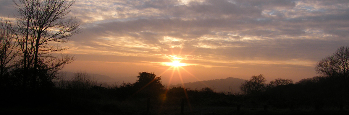
From the crossroad looking north-west. The barrows are in the trees at the limit of visibility, with the road disappearing to the left. The line runs through the trees on the right edge of the view.
I can find no record of the barrows being excavated and no apparent damage in the centres, as seen on other sites such as Culverswell Hill.