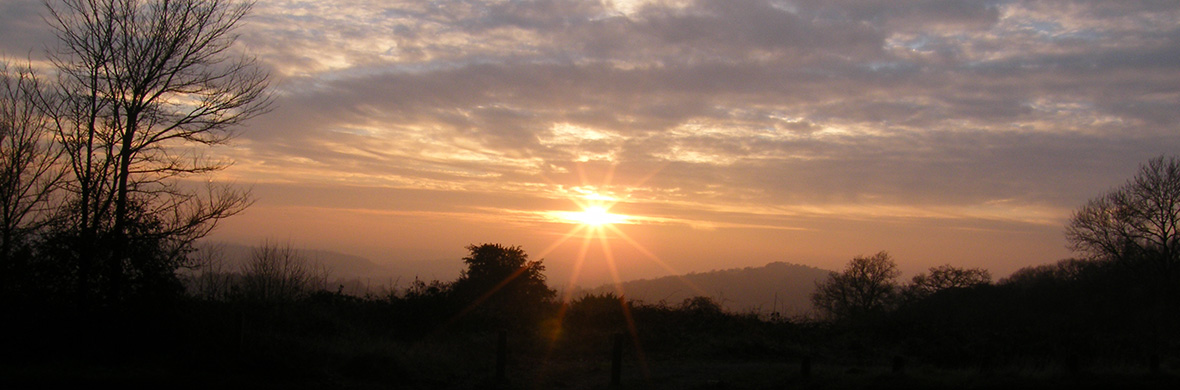
The NEWLANDS LINE, at 132 degrees (refined to 132.82), is 100 degrees from the CROOKSBURY LINE and again starts from Whitmoor Barrow. At 4 Druid Miles (DM), it passes through St John’s Church at Merrow and carries on to Newlands Corner Barrow at 6 DM. Unfortunately, the 2 DM point is on the pavement in a housing estate. These distances are precise and have been found to occur on other alignments, and have therefore been used as the decided criterion of the Druid Mile. In Weston Wood, the line brushes the side of the reported position of a disputed barrow, now destroyed by sand extraction. It then passes through the site of a Mesolithic settlement. At 9 DM passes close by Shere Heath Barrow but not close enough to be taken as an alignment point.
SCALE PLAN OF THE NEWLANDS LINE

NEWLANDS LINE DATA
The code is in degrees from north (refined to 132.82), followed by the distance in Druid Miles (DM) from the base point 132/0.
Code Easting Northing Site
132/0 499675 153682 Whitmoor Barrow
132/1 500480 152936
132/2 501285 152190
132/3 502090 151444
132/4 502894 150698 Merrow Church Intersects line 251
132/5 503699 149953
132/6 504504 149207 Newlands Corner Barrow
132/7 505309 148461
132/7+ 505470 148400 Weston Wood Mound
132/8 506114 147715
132/9 506919 146969
132/10 507723 146224
132/11 508528 145478
Hi Mike
I have taken the liberty of extending your alignment northwards. It appears to go over Curley Hill at Bagshot Heath, and by a Roman Camp not far from the bend in The Devils Highway roman road. Curley hill is fairly well wooded to the south but there are some views here and there. The northern slopes of the North Downs can be seen and I am sure that Whitmoor Common could be sighted with an unobstructed view.
Hi Dave, I have at last looked at your suggestions and a couple of weeks ago visited High Curley Hill – quite an impressive site. Using my hand-held GPS I found where the alignment passes over the hill but because of the dense growth I could not see anything. It was some way back along the ridge from the viewing area and will have to wait for the vegetation to die back. I will keep you informed should anything come of it.
That would be great. Must admit last time I was up there the view was much better from up one of the climbable scots pines plus I was near a stone that is up there near the viewpoint- so not where your line passes. I also got a custom 1:50000 OS map made up with Woking/Whitmoor Common approximately central then drew most of your lines onto it, extending them as far as possible, heath robinson I know but very interesting! The lines do tend to coincide with various known sites/churches but also come tantalisingly and annoyingly close to others. I suppose we only have fragments of information left in the os map.